Surveyors learn new skills to tackle Lagos waste crisis
By Abraham Ifedayo
The fight againnt waste in Lagos State has drawn the interest of Surveyors.
The Surveyors in Lagos State have now acquired new skills in geospatial intelligence to tackle the growing solid waste generation and storage crisis in the state.
The experts declare that waste in Lagos is a spatial problem being managed without enough spatial data.
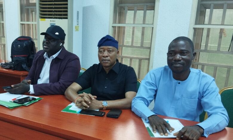
This was contained in a Communique issued at the end of the 2026 Mandatory Continuing Professional Development [MCPD] of the Nigerian Institution of Surveyors, on Wednesday made available to Irohinodua.
The training was held at the Lagos State Branch, on 21–22 October, 2026 at its Secretariat in Alausa, Ikeja.
The programme with the theme “Application of Geospatial Intelligence in Solid Waste Generation, Storage and Management” brought together about 750 surveyors, with the lecture delivered by Surv. Dr. Godwin Omenka Ode of Bells University of Technology, Ota, and hands-on QGIS practicals facilitated by Surv. Jamba-Oda Yinka Taofiq.
After extensive deliberations, the surveyors observed that waste is outgrowing the system. According to the Communique, “Nigeria generates at least 32 million tonnes of solid waste a year, projected to reach 107 million tonnes by 2050. Lagos alone produces about 13,000–15,000 tonnes daily,” adding that “Not all the wastes are being collected,” with the remainder ending up in drains, canals and informal dumps. It also noted that “Lagos has no sanitary landfill that meets international standards” as Olusosun and Solous are at end-of-life.
The Branch identified storage gaps, noting that the voluntary “residents buy bin” model has failed and the ongoing rollout of 80,000 smart bins is insufficient. It added that “Illegal dumping persists because reports go unanswered” and collection remains slow as trucks spend up to 60% of travel time in traffic.
To solve this, the surveyors proposed a closed loop: map where the problem is, decide who must act, and verify that it was done. “Geospatial intelligence makes each step possible,” the Communique stated, stressing that free data like Sentinel imagery and free software like QGIS are sufficient to start. Using GIS analysis, the Branch proposed Epe and Badagry as suitable locations for new sustainable landfills.
It therefore recommended that government should mandate data sharing between agencies, adopt geolocated RFID-tagged smart bins as standard, establish a Waste Data Unit in LAWMA, and set up “a LAWMA geospatial waste dashboard that links smart-bin position, PSP vehicle with enabled GPS tracking, satellite alerts and citizen reports.” The Communique, signed by Chairman Surv. Chief Adedeji Olanrewaju Owolabi, FNIS, concluded that “A clean Lagos is achievable, but only if decisions are based on accurate location data.”